Last week’s “WW #133” is a shot near the north end of Towanda, just south of the Lehigh Valley station and interchange. The photo suggests a misty, damp spring day; and may be a departing shot of this train from “WW #102”
Bradford County Safari and LSOPS 9 (Part 1)
A few weeks ago, I traveled to the eastern part of the state for the 9th Lehigh/Susquehanna Ops Weekend, sponsored by the Susquehanna Division (Division 11) of the NMRA Mid Eastern Region and the NMRA Operations Special Interest Group (OpSIG).
Having an extra day off that week, I decided to leave a day early, and spend part of the day inspecting our hunting camp north of Williamsport, PA, and the rest of the day exploring around S&NY territory west of Towanda. I hoped to get some nice fall leaf photos along the way, but the leaves were not yet at peak due to the recent warm weather.
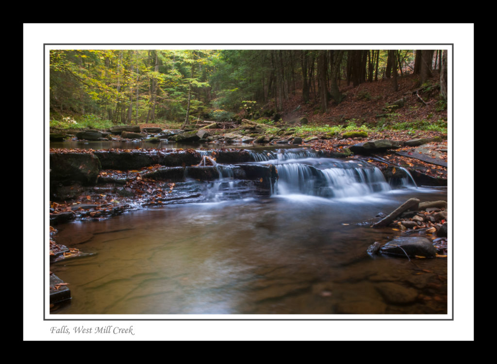
As it turned out, I ended up spending far too much time hiking and shooting photos at the camp, but was able to get one decent shot (out of many marginal ones) of the creek and a few early autumn leaves:
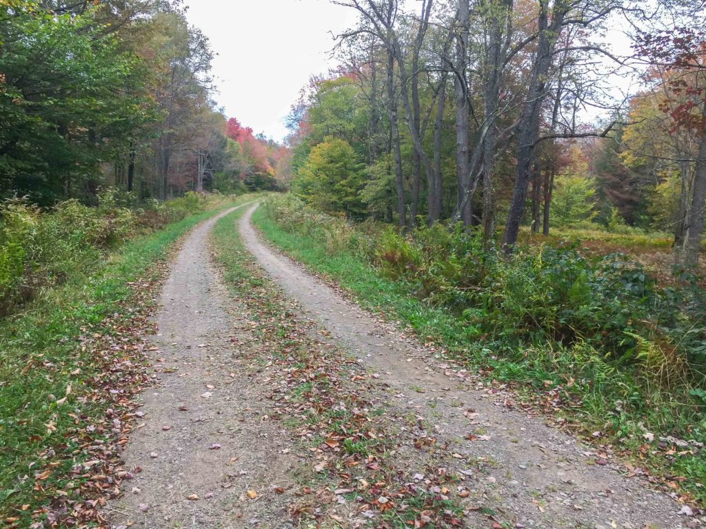
Next I headed up over the mountains to Wheelerville, where I hoped to pick up township road 395/396, and take that down into the Laquin area. Unfortunately, that gravel road, while easily driveable in a pick-up, runs through the 24,000 acre State Game Lands 12, and is prohibited to motorized vehicles between September and January unless one possesses a valid disabled hunter permit. Too bad, as much of this access road is in the old S&NY roadbed.
At the gate:
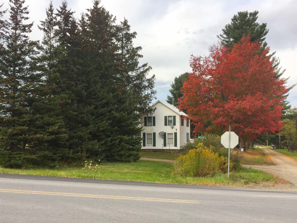
Still, I was able to get photos of the location of the Wheelerville station in person:
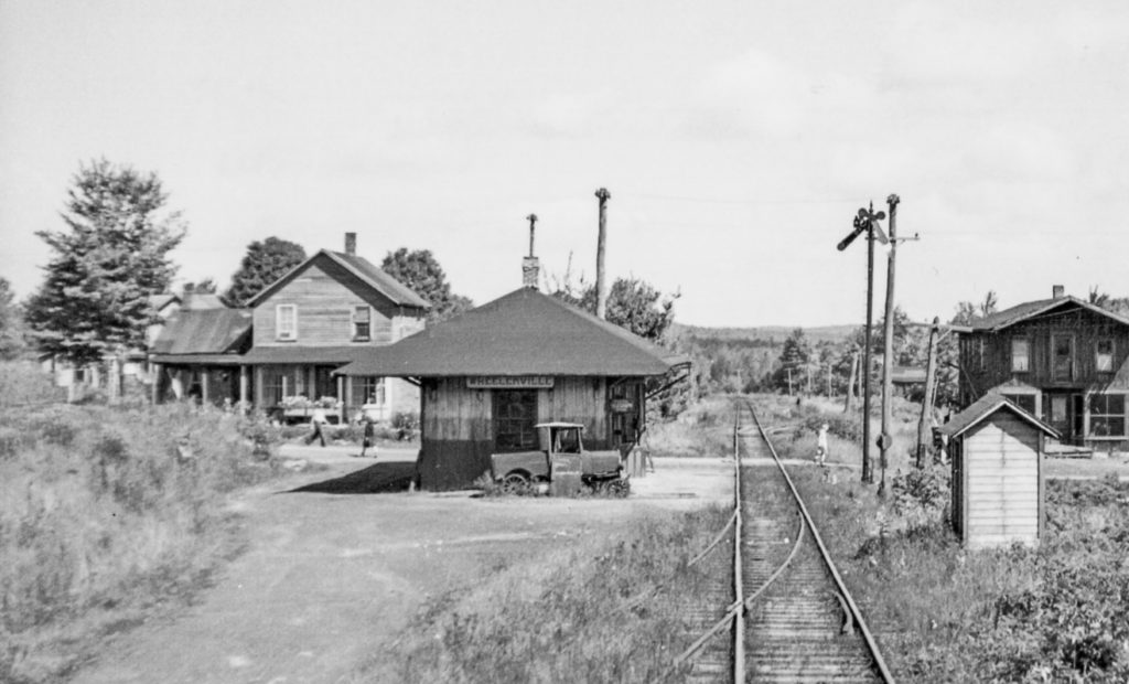
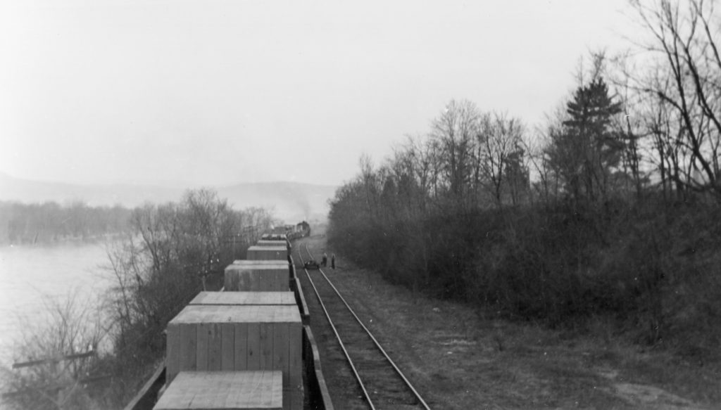
Nearly the same view, only 70 or so years earlier:
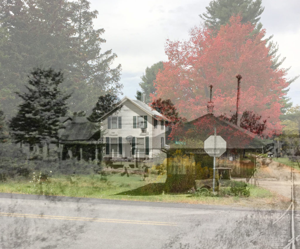
And now, with a little Photoshop magic, we can see the Wheelerville station as a “ghost”:
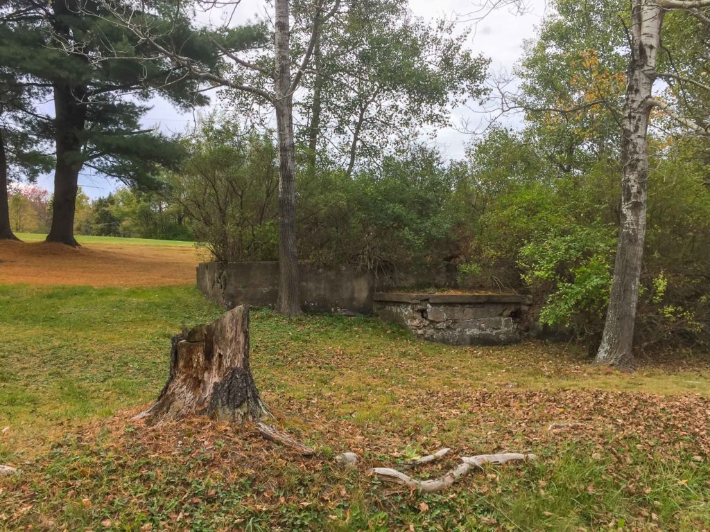
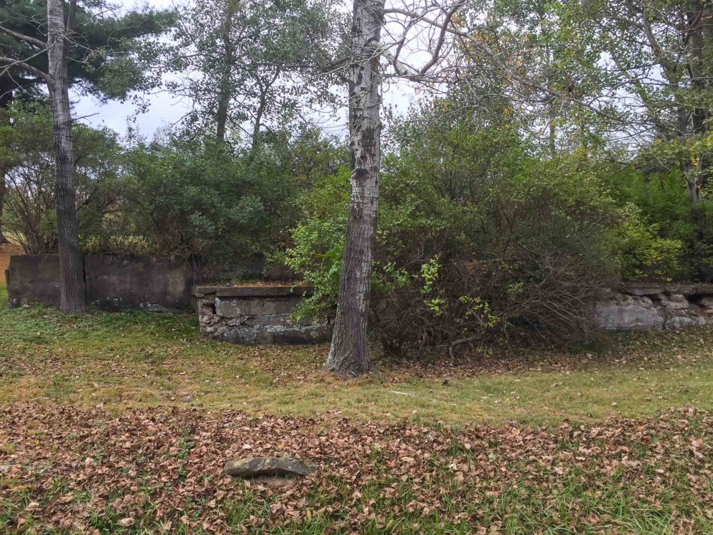
I was also able to grab a couple of shots of the foundations of the Wheelerville creamery:
So, I then back-tracked over the mountains and headed east on Southside Road, paralleling Rt. 414, hoping to find a good road back over to the Laquin area, but my nav system was less than helpful and I was not successful. (Helpful hint: Don’t follow roads with colorful names like “Pine Swamp Road” when trying to find a shortcut…)
By the time I came out near Towanda I was too tired to back-track through Powell and Monroeton. Will have to save that for another day.
After a night in the palatial Comfort Inn at Towanda, I was off bright and early for Allentown and LSOPS 9.
More on that in Part 2…
Talky Tuesday #90
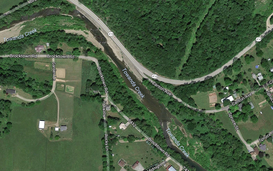
Last week’s “WW #132” shows a work train over what I believe was called the “Masontown Bridge” over Towanda Creek west of Monroe, PA. In the distance, a crew is working on the ground, possibly lifting rail as part of the 1942 abandonment. Time and the changing course of the creek has erased any trace of the bridge, at least as can be seen by Google Earth…
Update 10/20/17:
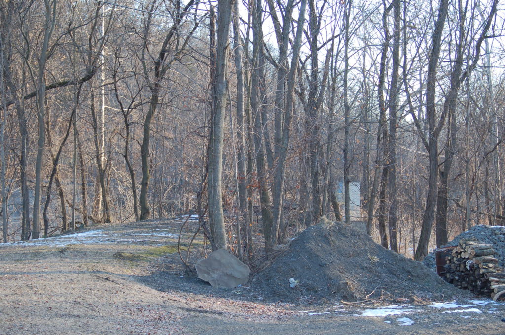
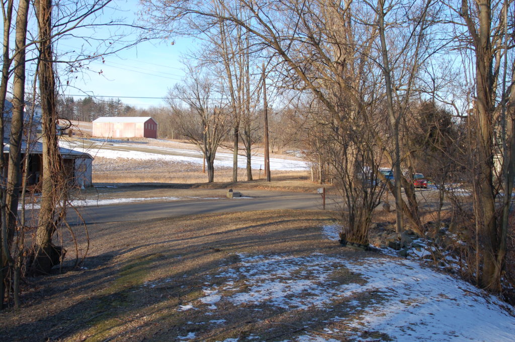
Reader Chris C. provides these photos of the bridge abutments circa 2007:
The first is at nearly the same position of last week’s photo:
Abutments:
Reverse view showing Brocktown Road:
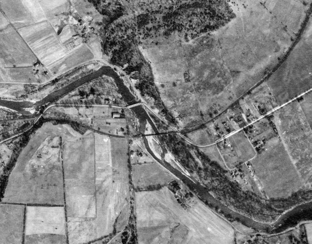
Aerial view of the area circa 1938:
Google Earth view today:
Talky Tuesday #89
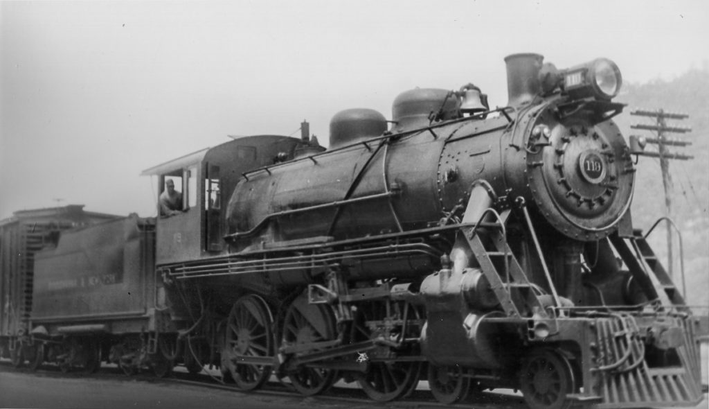
S&NY #119 heads a train eastbound at Towanda in this undated photo in last week’s “WW #131“.
Talky Tuesday #88
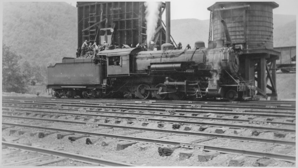
It looks like an all-hands effort getting the #115 coaled up at Marsh Hill in last week’s “WW#130”. Her crew is keeping her hot, though, as the safety valve is lifting as the photographer captures the moment.
Talky Tuesday #87
S&NY #116 pauses at the Towanda ashpit in last week’s “WW #129”. Some of the accoutrements of steam railroading are in the foreground, namely a rack of rakes and other tools used to keep the fire in the engines in good shape, and the clinkers out. I doubt the ladder at the base of the water tank would pass muster in today’s OSHA world…


Recent Comments